

The air in the Lamont Geological Observatory was thick with cigarette smoke and skepticism. Marie Tharp sat alone at her wooden desk, the only woman in a room full of men who believed the ocean floor was nothing more than a flat, featureless graveyard of mud. They called her work 'girlie geography,' a polite way of telling her to stay in her lane. But the stacks of sonar logs from the research vessel Vema told a different story, one that refused to fit into their neat, static world.
The numbers were chaotic. Depth readings jumped wildly, defying the expected smooth decline into the abyss. Every time Marie tried to plot these points on standard charts, the lines crossed over each other, creating a tangled mess of contradictions. It wasn't just noise; it was a signal she couldn't yet hear. The frustration gnawed at her. If she couldn't make sense of the data, she would remain invisible, another assistant filing away other people's discoveries. She needed to see the shape, not just the statistics.
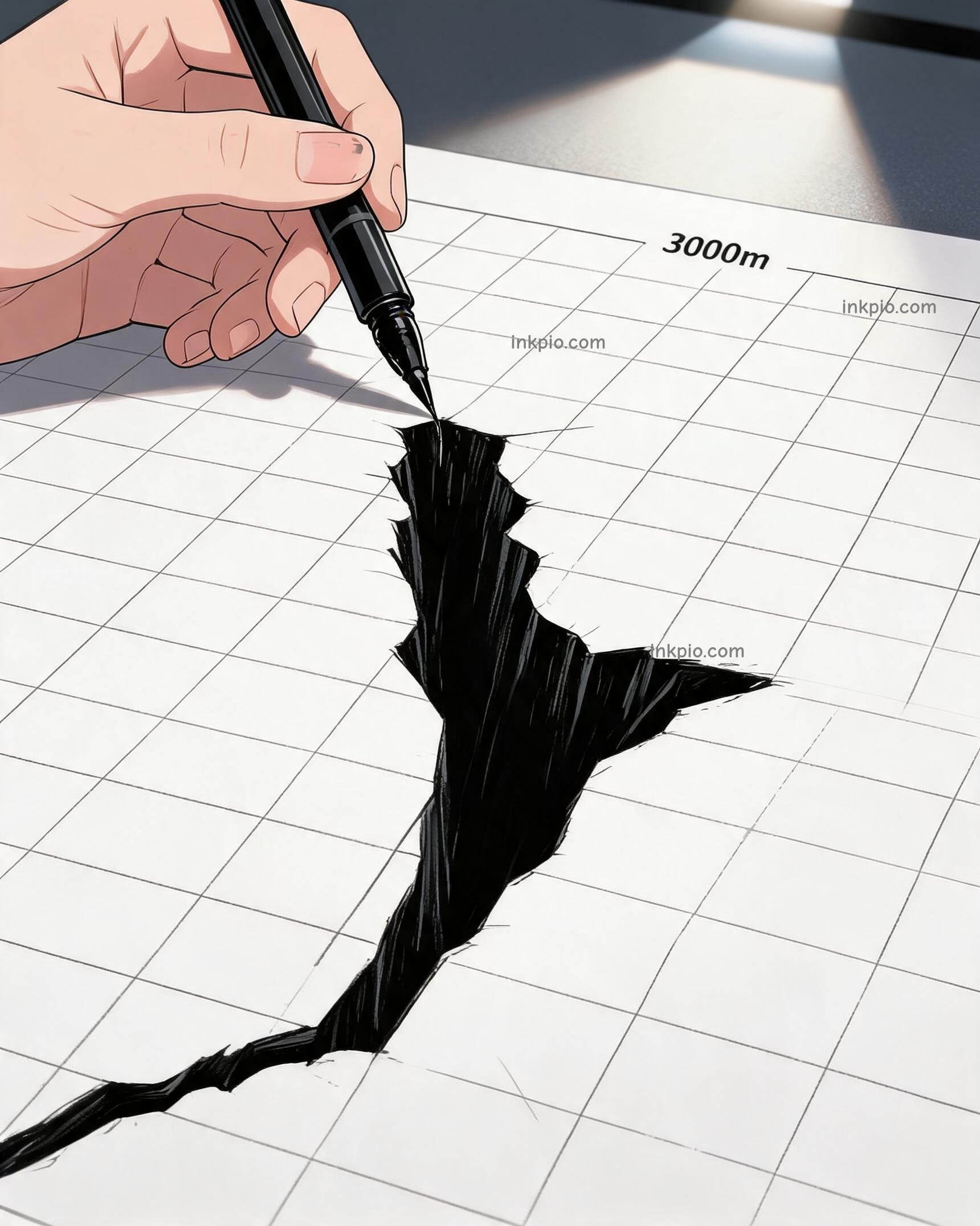
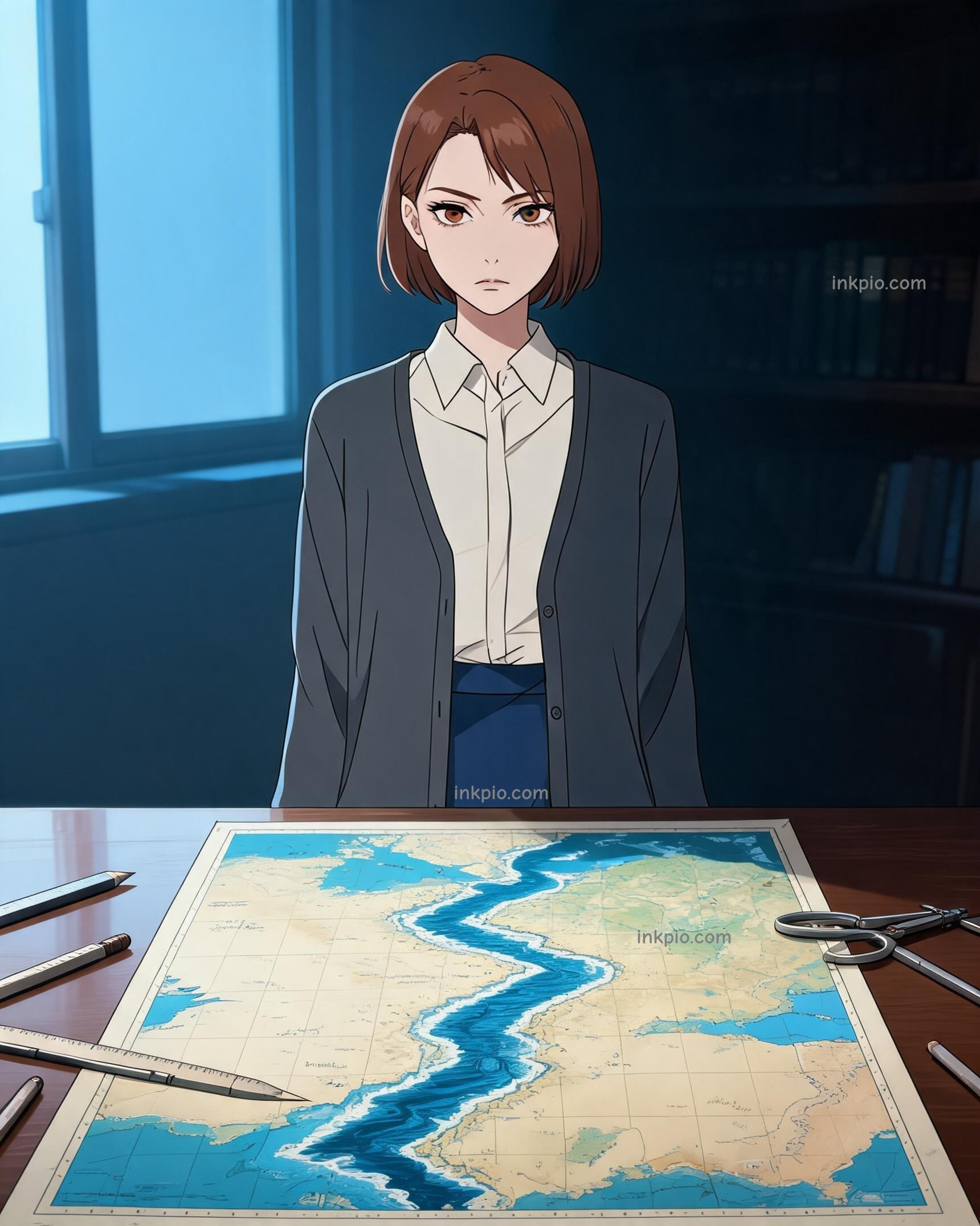
She stopped trying to force the data into existing maps. Instead, she took long strips of graph paper and taped them together, end to end, creating a continuous ribbon that stretched across her desk. This was her innovation: aligning the soundings chronologically along the ship's track. Think of it like unrolling a film strip of a road trip. As the Vema moved forward, the sonar pinged the depth at each mile. Marie aligned those readings in the exact order they happened, turning scattered pings into a coherent narrative.
Her hand moved steadily, tracing a single continuous line across the stretched grid. The ink started shallow, hovering near the surface, then suddenly dropped. She held her breath as the line plunged into the paper, deeper and deeper. Another batch of logs arrived, and the line dipped again, carving a path through the white space. A pattern began to emerge from the chaos, sharp and undeniable.
A deep V-shaped valley started to form on her workspace. It wasn't a random dip or a mapping glitch caused by faulty equipment. The trench ran straight down the middle of the Atlantic, matching perfectly with every track she laid down. The seabed wasn't a flat plain at all. It was actively splitting apart. The realization hit her with physical force. The earth beneath the waves was not dead stone; it was alive, tearing itself open.
For decades, scientists had mocked the theory of continental drift as a fairy tale. Alfred Wegener had proposed it, but without proof, he was dismissed as a dreamer. Now, sitting in the quiet of the lab, Marie held the evidence in her hands. Her hand-drawn profiles revealed a continuous rift valley along the Mid-Atlantic Ridge. This was the missing piece, the visual proof that the continents were moving, pushed apart by the geologically active floor below.
She stepped back, her heart pounding against her ribs. The profile dried on the desk, the blue ink catching the dim lamplight. She knew what this meant. She had found the seams of the Earth. But she also knew the resistance she would face. Bruce Heezen, her colleague and the voice of the observatory, would have to present this. In that era, a woman's map was often seen as illustration, not science. She capped her pen, the click echoing in the silent room.
The mud blanket was gone. The real Earth had finally shown its wounds. Marie stared at the V-shape, knowing that while the world might not be ready to listen to her, the ocean floor had already spoken. The truth was there, drawn in simple blue lines, waiting for someone brave enough to believe it.