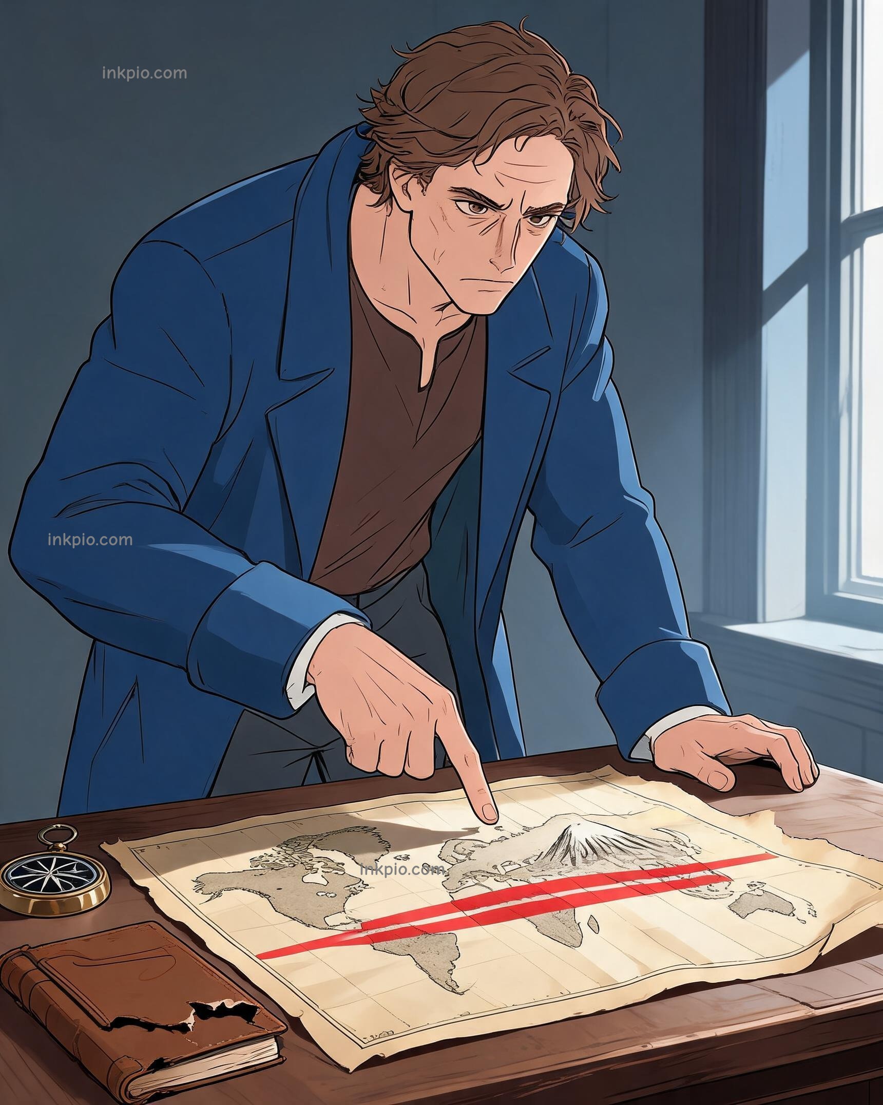

Old maps drew neat horizontal bands across the globe. Cartographers swore tropical heat lived only near the equator while cold stayed locked near the poles. Explorers kept returning with impossible sketches of snow sitting right on the equator line. Humboldt stared at those drawings and shoved the outdated charts into a drawer.
Latitude alone couldn't explain the world. He needed a working method to track why a peak could wear a winter coat in the middle of summer. So he packed his gear and walked toward the Andes.
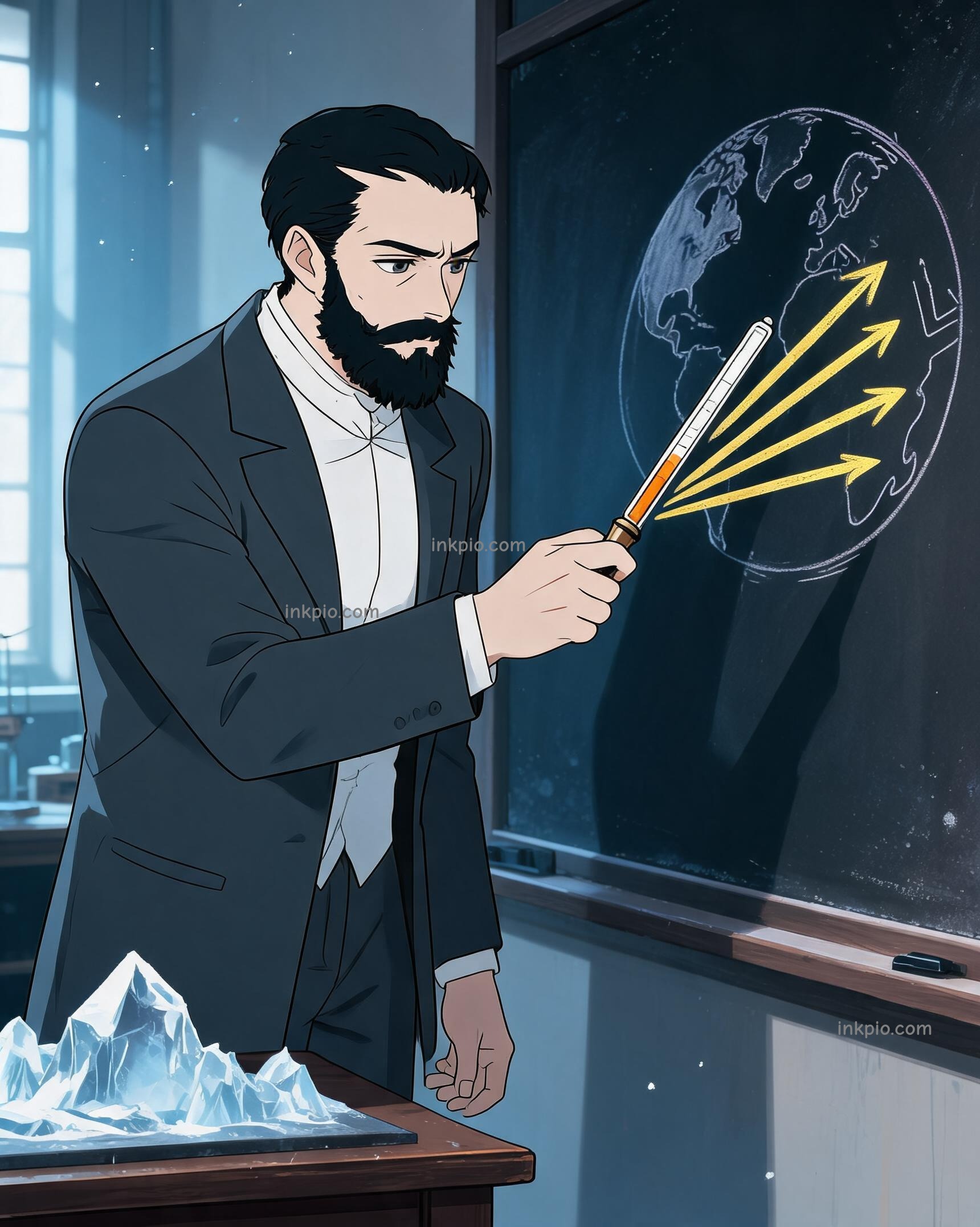
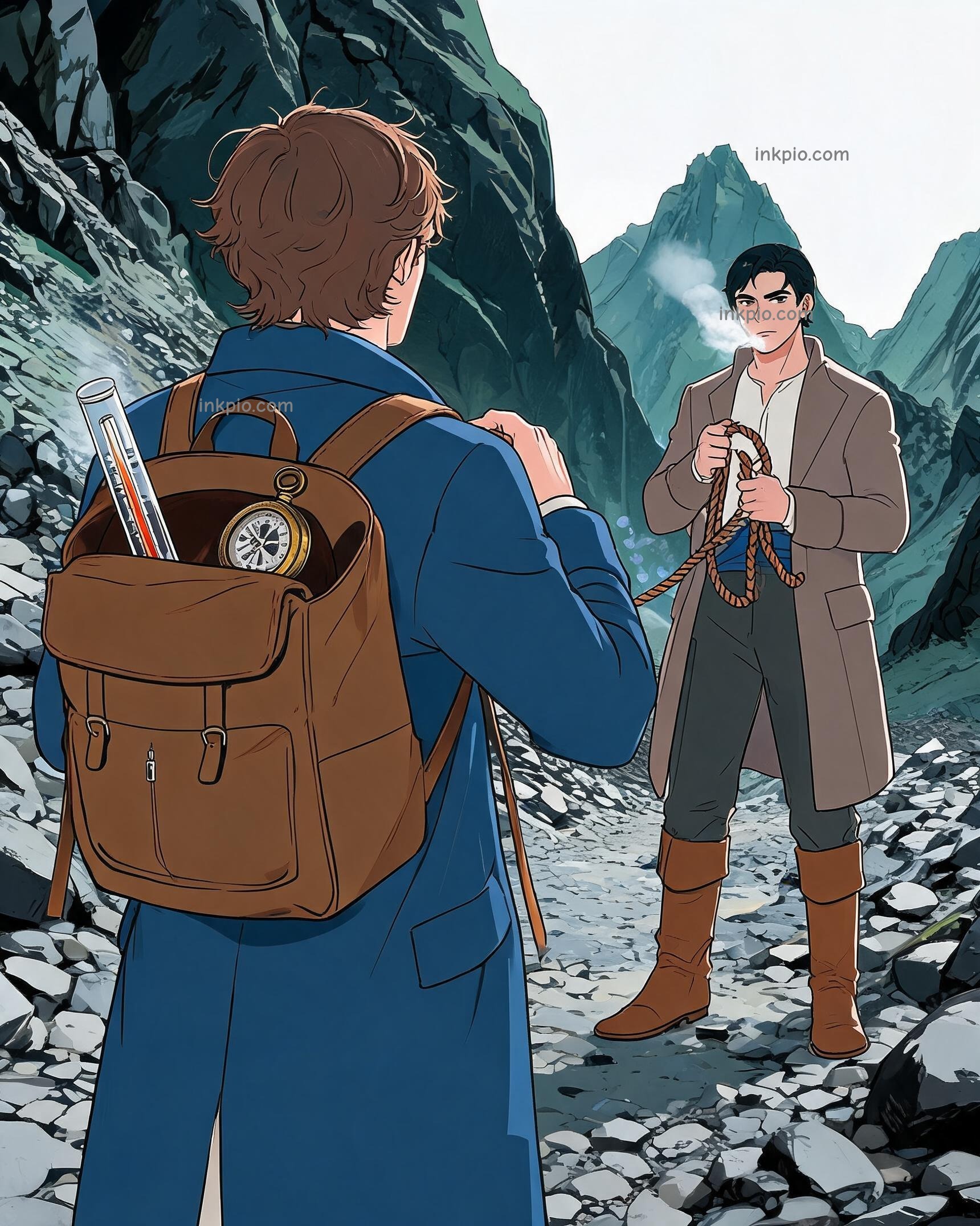
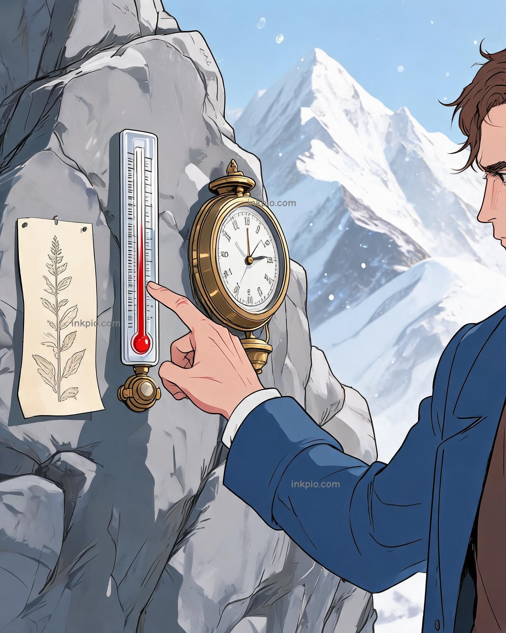
In 1802, Alexander von Humboldt and Aimé Bonpland strapped fragile glass thermometers and heavy brass barometers to their leather packs. They targeted Chimborazo in Ecuador, aiming to push past 5,800 meters and set a new altitude record for Europeans. The thin air burned through their lungs, and the mountain wind stole their body heat. Instead of racing for the summit, they paused at every rocky shelf to let the instruments settle. Humboldt checked the glass tubes, logged the dropping pressure, and listed every shrub they passed. He treated the peak like a giant measuring stick. The input came from the glass tubes at each ledge, and the operation meant matching every temperature drop to a change in soil and foliage. The output appeared naturally: a predictable vertical ladder where lush jungle faded into pines, then moss, then bare ice. The mountain stacked entire continental zones into one vertical walk.
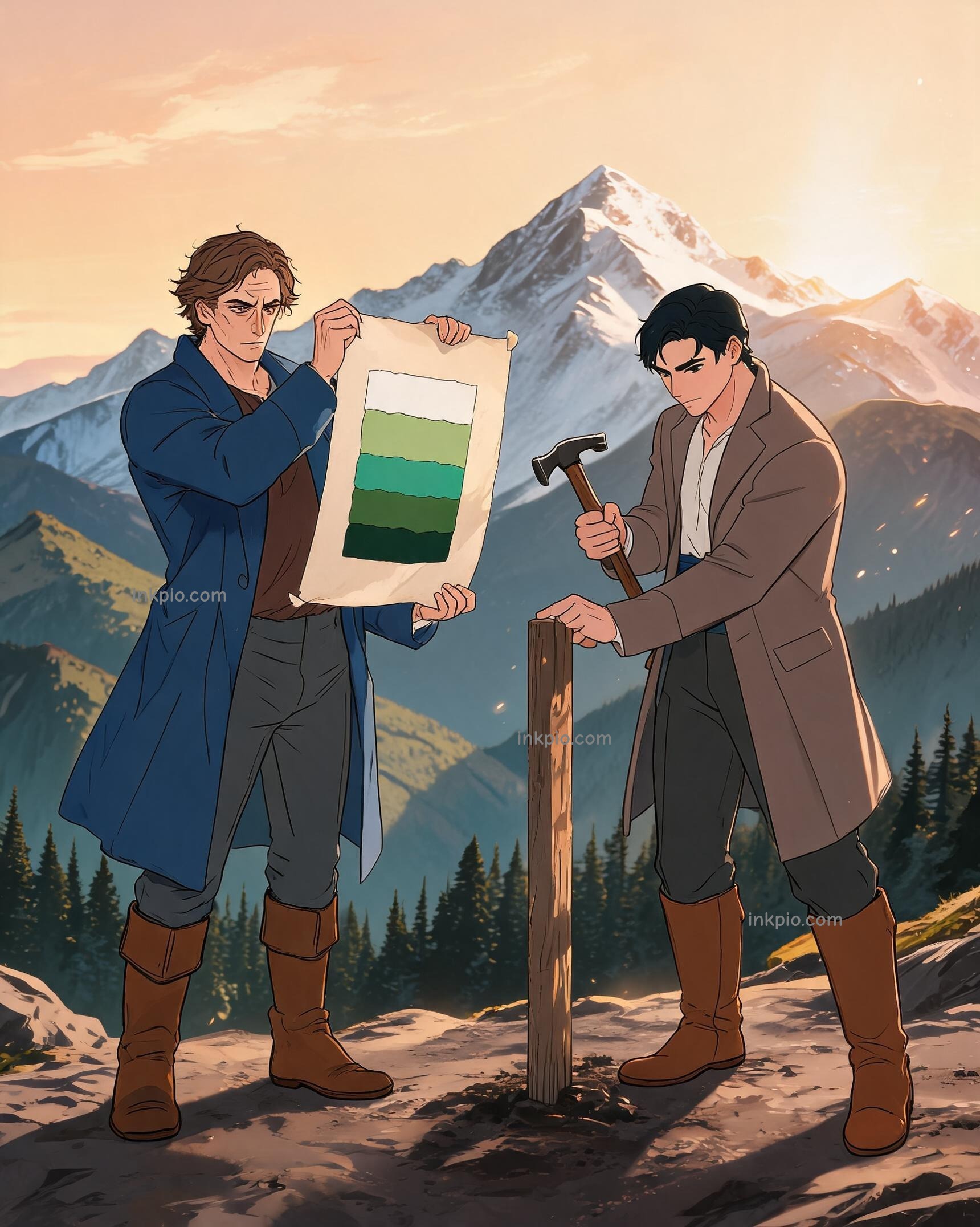
Their field notebooks filled with precise numbers. Back in camp, Humboldt unrolled a wide sheet of parchment and sketched a single vertical slice of the volcano. He aligned the lowland jungle bands with the bottom, matched the alpine grasses to the middle slopes, and capped the drawing with snow. The finished cross-section proved a clean geographic rule: altitude shapes ecology just as strongly as latitude. He later summarized the pattern by noting that global plant distribution simply follows the temperature and moisture hanging in the air.
He pinned the diagram to a wooden wall. Bonpland leaned in to check the alignment, tapping a finger where the drawn snowline met the bare rock. The ink dried while the real peaks stood quiet outside, but that single sheet of paper had just redrawn how people read the earth.